Google Maps as context on a tragedy
Authorities say that all 18 passengers, including driver, in the limo died; one passenger survived only to die later at hospital, per @nyspolice https://t.co/p7PdvJu8hh
— Jesse McKinley (@jessemckinley) October 7, 2018
The circumstances of this story are horrific, and several things reported in them jumped out immediately.
“That limo was coming down that hill probably over 60 miles per hour,” said Jessica Kirby, 36, the manager of the Apple Barrel Country Store, where she said multiple customers were hit in the parking lot. “All fatal.”
Mr. Tavenner said the site of the accident was a notoriously dangerous spot, a “nasty intersection” that transportation officials had tried to fix in the past without success. “I honestly think it was a more dangerous intersection than it was before,” he said.
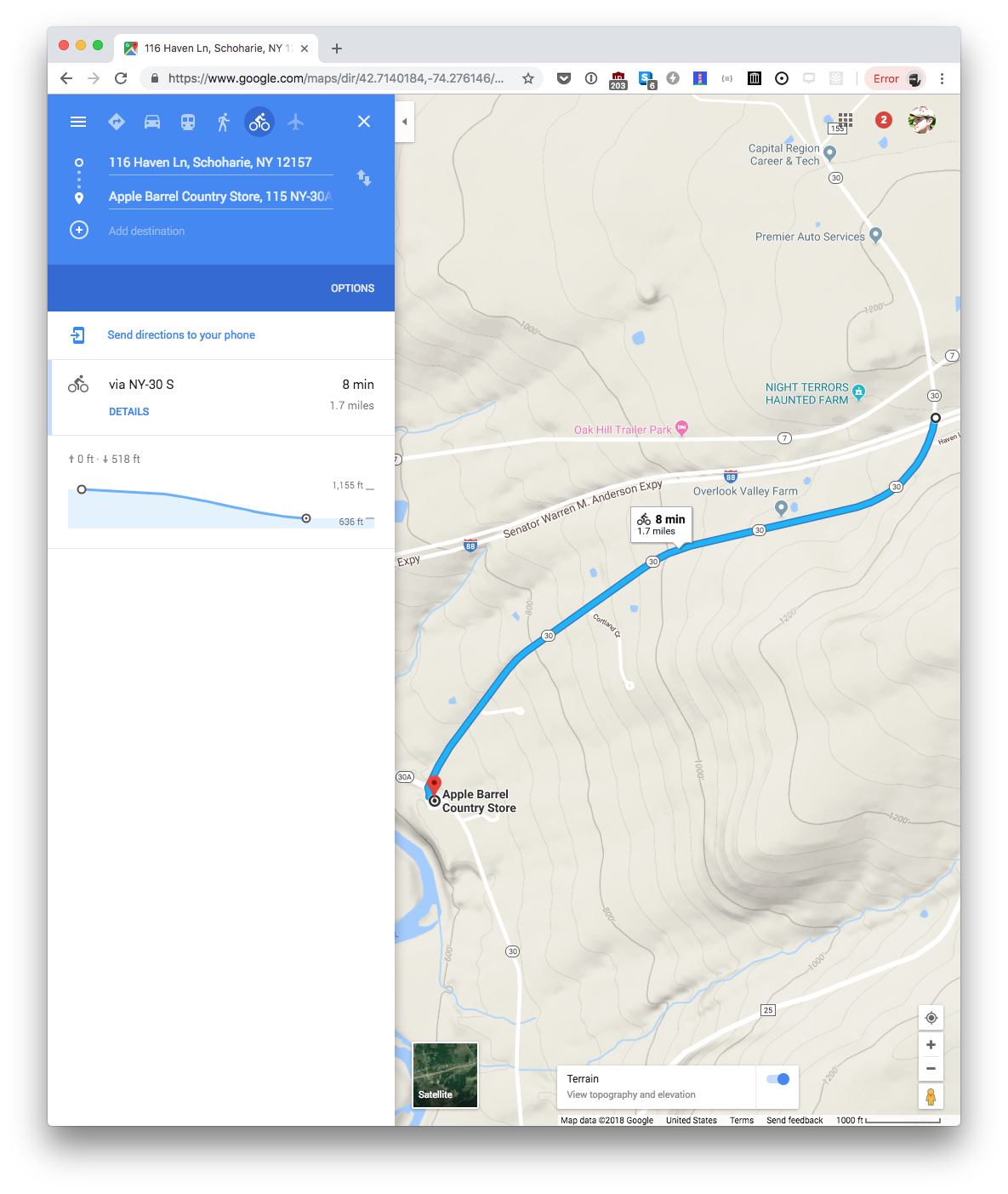
Route 30 leads steeply downhill to a T-intersection with Route 30A, marked with a stop sign.
Ms. Kirby also said the intersection was dangerous. “We’ve had three tractor-trailer type vehicles — they come down that hill too fast, they go though our parking lot and they end up in a field behind our business,” she said.
So where the heck is this place?
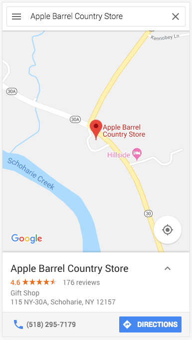
Okay, the T intersection is there, but let’s also check on the elevation.
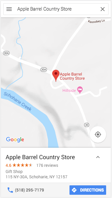
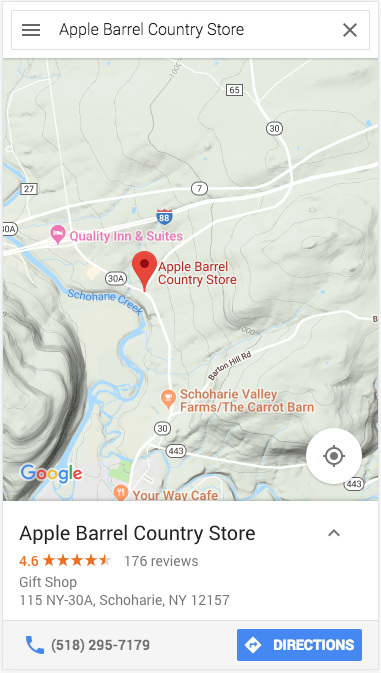
Well, that’s not terribly helpful. ZOOM OUT
Yeah, looks like that road is a several hundred foot descent to a dead stop. But we can do one better. Google Maps helpfully provides elevation data for cyclists (we’ll have to jump to a desktop display for this one though).